துறைக் கட்டணங்களை 21 மார்ச் 2024 முதல் ஆன்லைனில் செலுத்தலாம்.

Who We Are

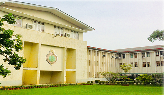
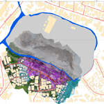
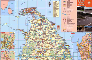
இலங்கையின் பழமை வாய்ந்த திணைக்களங்களில் ஒன்றான நில அளவைத் திணைக்களமானது 1800 ஆம் ஆண்டு ஆகஸ்ட் 2ஆம் திகதி ஸ்தாபிக்கப்பட்டு தேசிய அளவையியல் மற்றும் படமாக்கல்களின் முறைமைகளான நில அளவையியல் செய்மதி தொலையுணர்வு , உலகளாவிய தானமிடும் முறைமை, புவியியல் தகவல் முறைமை, காணித் தகவல் முறைமை,வான் தொலையுணர்வு மற்றும் வான் ஒளிப்படவியல் ஆகிய துறைகளில் இலங்கையில் முன்சென்று வழிசெய்கின்றது. மிகவும் விரைவான தொழில்நுட்பம் கரணமாக இம் முறைமைகளானது கணனித் தொழில்நுட்பத்தோடு தொடர்புடையதாகக் காணப்பட்டு வருகின்றது. அத்துடன் இவற்றுள் சில 20 ஆம் நூற்றாண்டில்​ உள்ள கடந்த 10 வருடங்களில் சாதாரணமாகத் தத்துவங்களாகக் காணப்பட்டது.

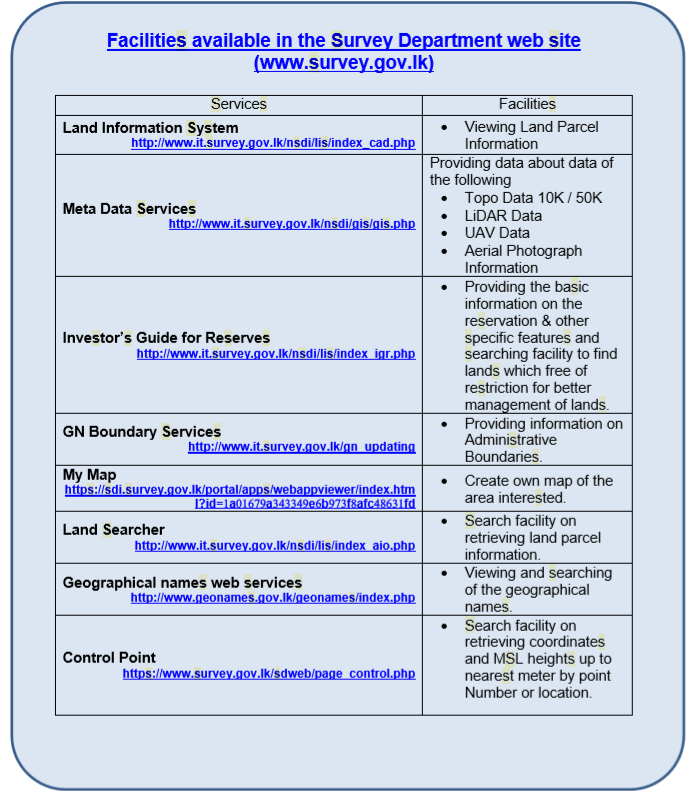
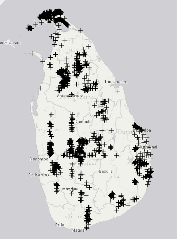
The recently established two branches, namely Geo Names (Geographical names) and NSDI (National Spatial Data Infrastructure) play a significant role to share the land related information cooperating with other interested organizations in the country.
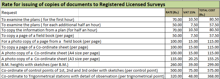
Read More

The Sri Lanka Survey Department (SLSD) under the Ministry of Land and Land Development acts as the National Surveying and Mapping agency of the government and is responsible for the standardization and production of all Surveying and Mapping activities in Sri Lanka. It is also responsible for the establishment of the national Cadaster under the Land Titling Program.

The national budget of the Sri Lanka allocates approximately about Rs. 2200 million annually for the activities of the SLSD. Ministry of Land and Land Development and the National Budget Department intervene improve the Surveying and Mapping activities because of the urgent needs in produce the quality of Geo/Land information which needs by the Planners, Administrators and Industrialists involved in decision making and contributing developing projects in the country.

Read More

Ceylon was ceded to British in year 1796. Sir Frederic North was proclaimed the Governer of Ceylon with the exception of the Kandyan Territory ruled by the King of Kandy, by a commission dated 06th March 1798. The famous land proclamation dated 3rd May 1800 desired abolition of common land holdings and envisaged individualization of land ownership and there by land surveys become a vital needHaving explored whatever the existing mode of Surveying of land in the island, the proclamation dated 2nd August 1800 was made outlining the original functions of the Surveyor General by the Governor “Sir Frederic North” and as a consequence, the Ceylon Survey Department was established.

Read More
Services Provided to Citizen

Digital data is produced by several methods such as data extracted from Aeiral photographs, Scanned maps, Digitized paper maps, Satellite images and LiDAR Data. Currently the department is issuing such data to customers in standard GIS and CAD formats. Customer oriented Maps in digital JPEG format and hardcopies are also produced by the department on request. Litho-printed standard Topographic and Thematic maps produced by the Survey Department can also be purchased.

Copies of Plans / Tenementery List (TL) of the lands already surveyed by the Survey Department can be purchased in following formats.

(a) An extract of Lots / Parcels

(b) A certified true photocopy of a relevant statutory plan

(c) A certified true photocopy of Tenementery List (TL)

(d) A Scanned image of a relevant statutory Plan /Tenementery List.

Featured Products


Meethotamulla Waste slide

Disaster map of Meetotamulla Garbage dump site

View Project
Chronic Kidny Disease of uncertain - Medawachchiya DS CKDU

Disaster map of Meetotamulla Garbage dump site

View Project

Gives horizontal and vertical survey control location information

View Project

Surveyor General's Message

Publications